
A few months ago I learned the word “bikepacking,” which is essentially like backpacking, except with your bike. Bikepacking is a bit different from bike touring, because it tends to imply biking on non-paved roads and camping, rather than staying at hotels. As someone who dislikes walking, I’ve been much more enthusiastic about getting into camping through biking rather than hiking. While you have to carry a lot more for this kind of biking, I’ve found it rewarding and doable, especially during COVID.
For labor day weekend, a friend and I decided to meet up in Idaho and try a bikepacking trip. Combined with my biking experience and his camping expertise, we figured we could make it work! With travel being restricted and not wanting to be around crowds anyways, a self-sustained, off-grid bike trip seemed like the perfect escape.
The plan
We had roughly 2.5 days for biking and my friend estimated that he could bike about 50 miles a day. All we had to do was find a route we could complete in that amount of time without overtaxing ourselves. Easier said than done! It’s hard to plan a route somewhere you’ve never been, especially when there’s no single source of truth for information.
I used Google maps to get a sense for distance and elevation gain from different points, Traillink.com for more detailed bike maps, and a number of local Parks & Recs websites. Google maps was probably the most helpful source, though of course, it can sometimes be unreliable for biking and take you on dangerous roads (once it tried to route me through an active golf course 😛 ).
Traillink is cool because it shows you old railroad trails that have been converted into gravel bike paths or multiuse paths. If they finish maintaining them, you could bike from Washington state all the way to Minneapolis on gravel (a dream!).
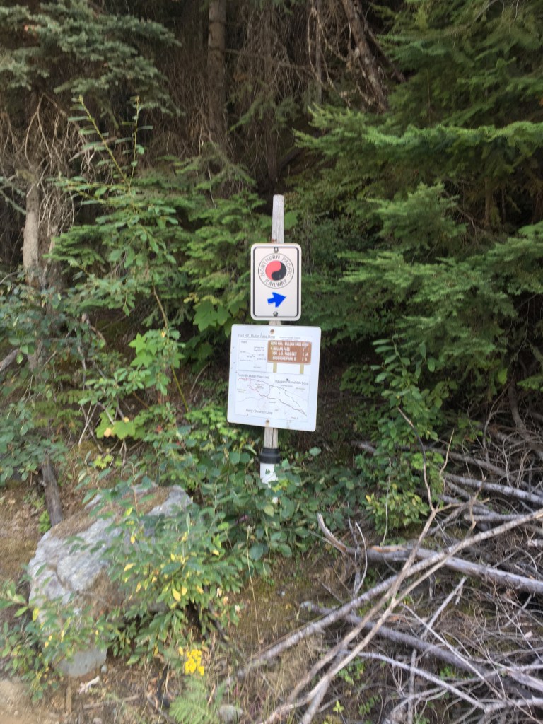
I was curious if we could connect the NorPac trail from Wallace, ID to the start of the Route of Haiwatha trail in Montana. I emailed the Route of Haiwatha webiste asking if anyone did this (their website only listed information about shuttles) and they wrote back, “Yes, you can bike to the beginning of the trailhead, but it is not an easy task. The trail is not maintained and makes for a very long trip.”
This reply left me feeling a little deflated. In the end, I ended up calling some random people in Idaho to ask questions about the roads, route, and camping options. This turned out to be much more effective than trying to Google everything myself. Everyone I talked to in Idaho was super friendly and helpful and gave me advice on the path conditions etc. Somehow, I found myself talking to a guy named Rich from the Wallace Inn, and he assured me that biking over to the Route of Haiwatha would be a piece of cake. “I’m not sure why they told you it’s difficult,” he said. “The gravel is well maintained. You’ll have an amazing time and will probably have it all to yourselves. I biked it last week and didn’t see anyone.”
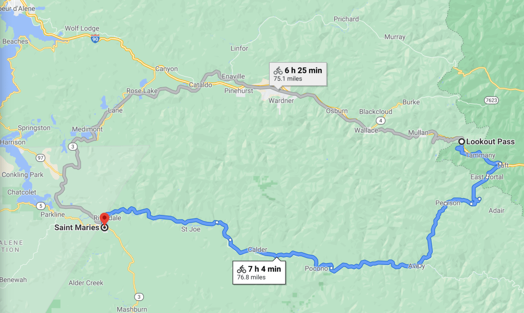
With some helpful advice from locals, I felt confident that we had a good route. Our plan was to start in Wallace, Idaho, and bike up to Lookout Pass and camp somewhere along the NorPac trail. Day 2 would take us over to the Route of Haiwatha and down along the St. Joe river all the way to St. Maries. Our final day, would take us from St. Maries all the way back to Wallace, via the paved Trail de Coeur d’Alenes. In total, it would be about 150 miles.
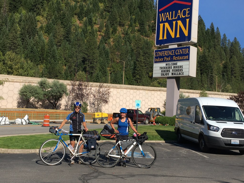
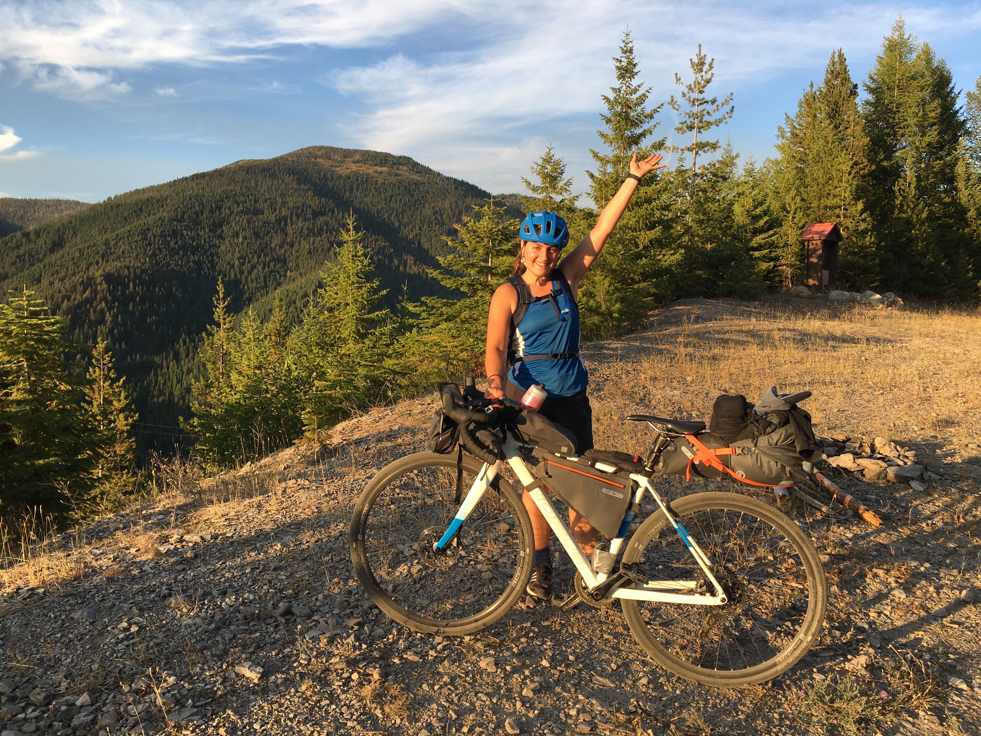
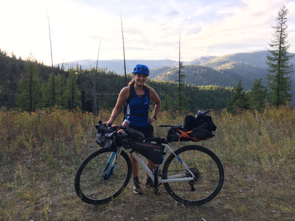
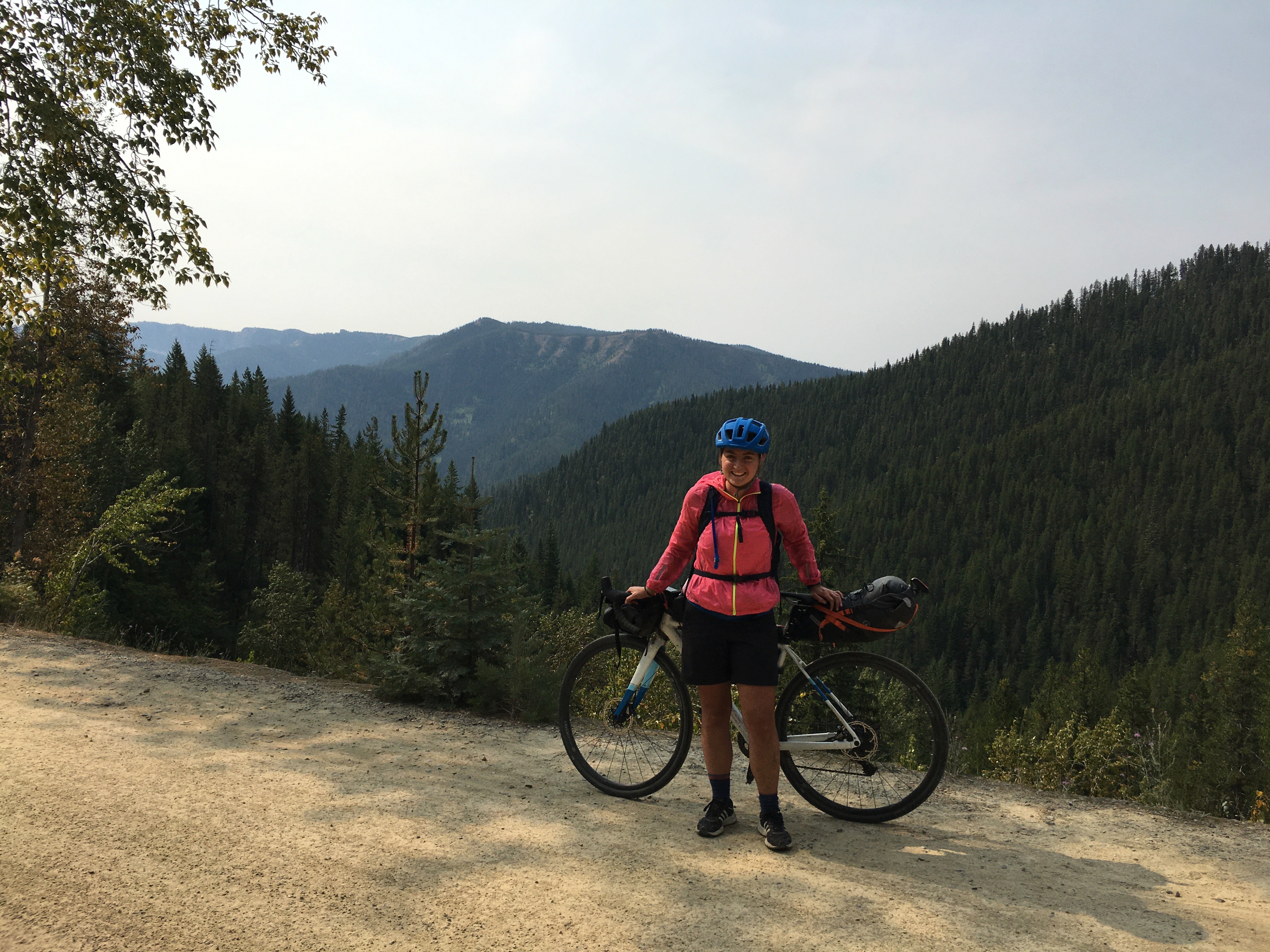
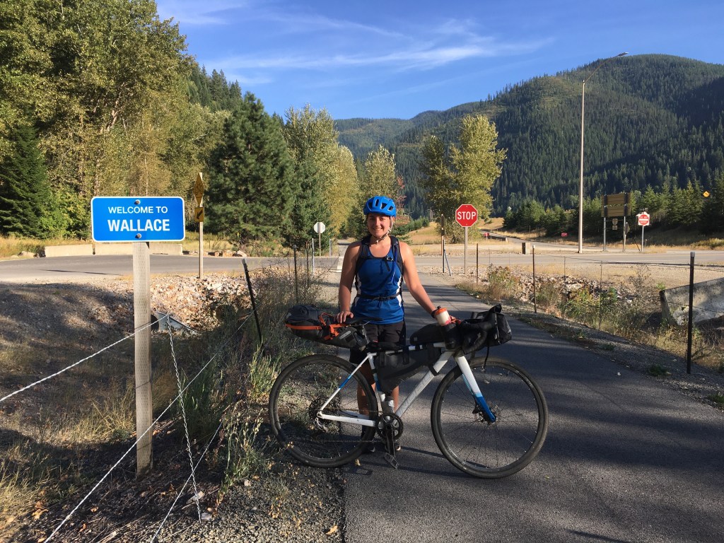
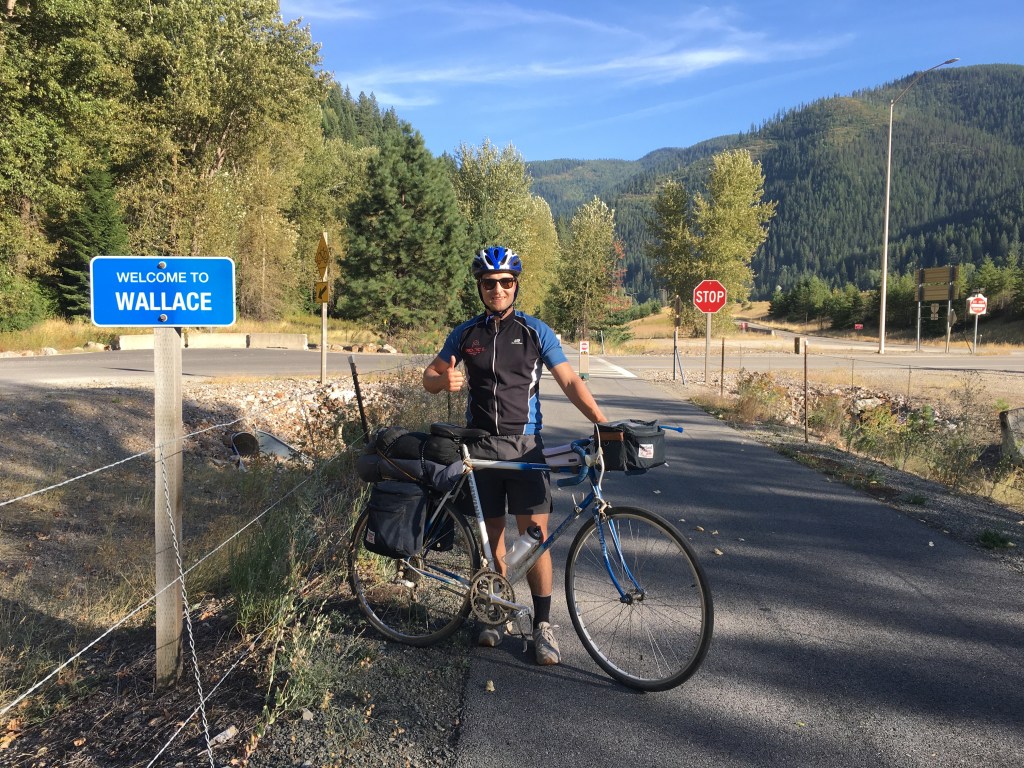
The start. We didn’t even try to match!
Day 1
Mitch and I both had stuff come up and some car troubles, so we ended up arriving in Wallace a lot later than anticipated. By the time we loaded up our bikes, packed everything up, and headed off, it was already almost 4PM (we had planned to start riding at noon — oops!). I hadn’t even had time to get breakfast or lunch and had sustained myself during the day with about five Cliff bars (would not recommend this strategy lol).
I was super stressed out from the week before and to be honest, was nervous about this bike adventure. What if we ran into a bear? What if we got a flat tire? What if one of our chains broke? What if my bags fell off? etc. etc. But, as soon as we started riding my worries started to melt away. I’ve noticed that about riding–I’ll be worrying about the bike ride, but as soon as I take my first pedal, I know everything is going to be ok.
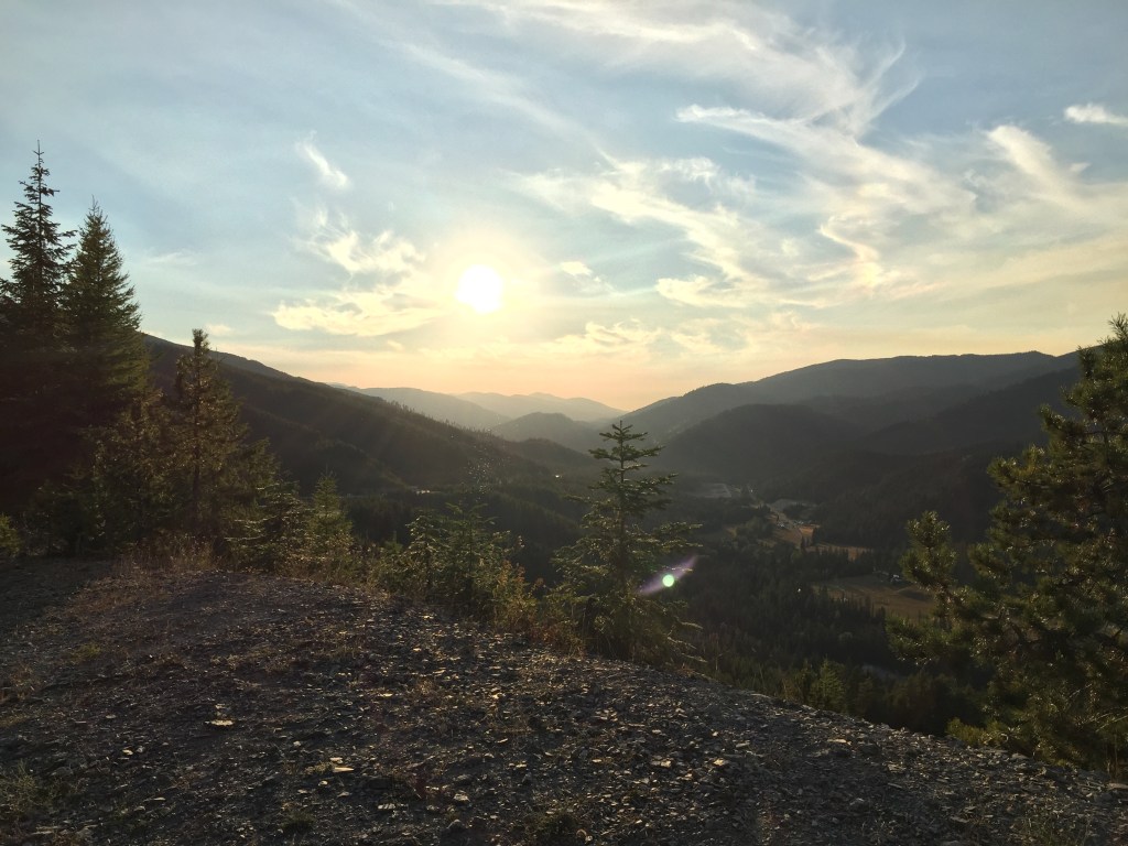
There was nothing more to worry about — we could just ride and enjoy it. It was also an insanely gorgeous day!
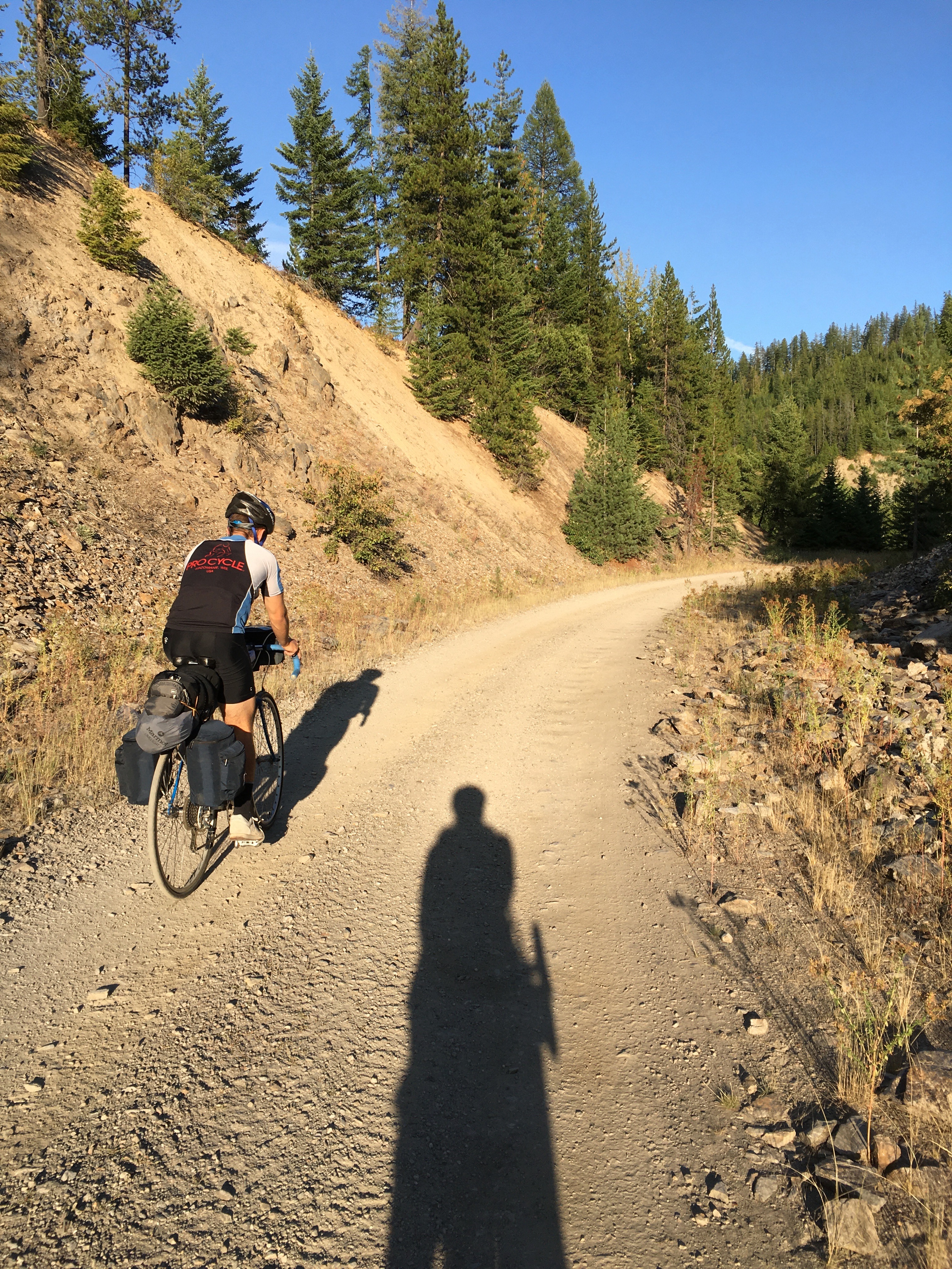
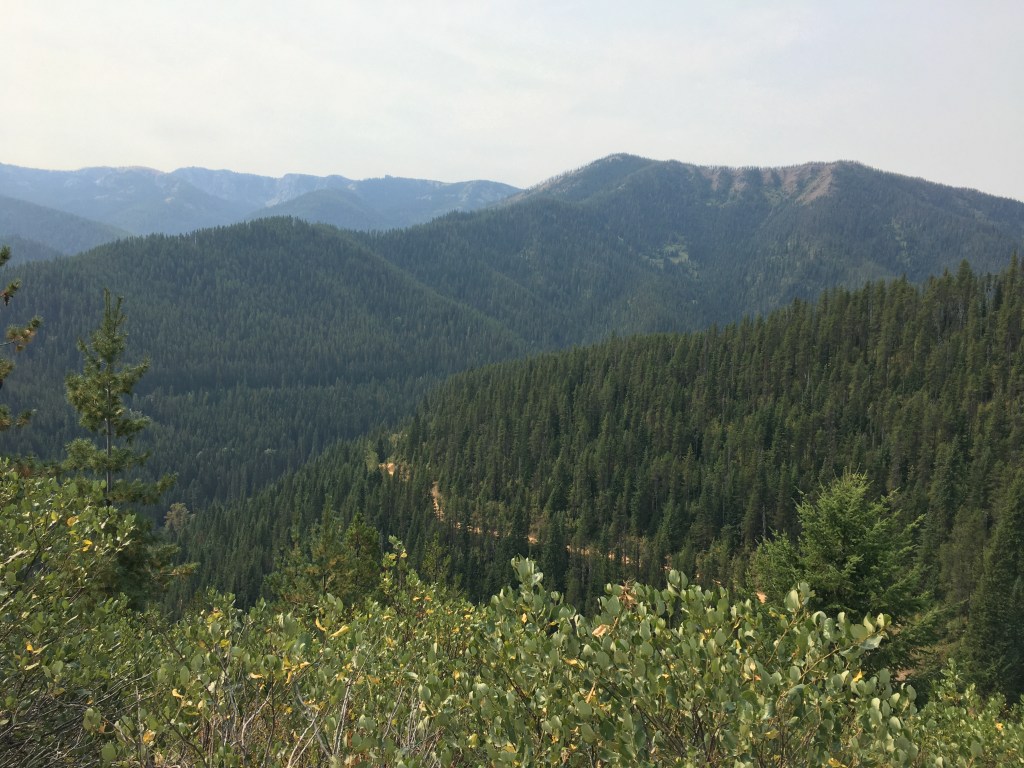
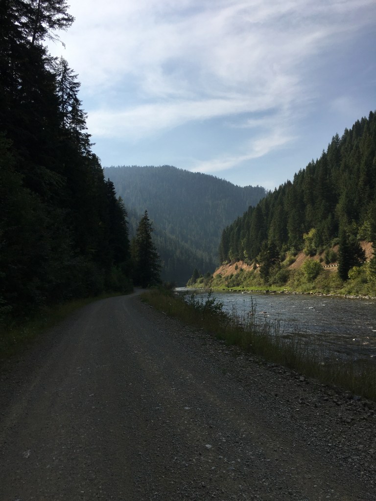
Our first day was the shortest mileage wise, but the most elevation gain. The NorPac trail is an old gravel railroad and we did about 2200ft elevation gain in 19 miles over a stead 1% grade. To be honest, this was much easier than I expected, even with all our stuff. Seattle has prepared me for the hills!
In no time at all we were nearly to the top of the climb and treated to some insanely gorgeous views! We passed 1 other cyclist this whole time, and it was so nice to be surrounded by quiet.
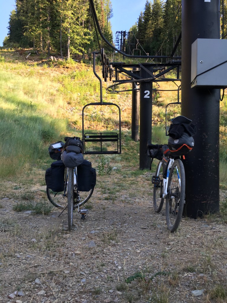
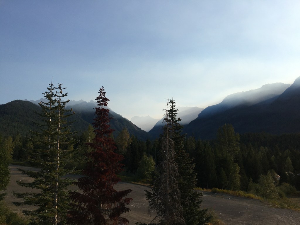
We passed Lookout Ski Resort, crossed into Montana, and were soon cruising downhill looking for a spot to camp for the night. There were some cool spots that were unfortunately taken by some ATVers/RVers, so we settled a bit farther down. We needed to replinish our water and could hear a stream, but couldn’t find a way down to it. By this point, it was nearing 8PM and pretty dark, so we put on our headlamps and biked back to the ATV camp area because they had access to a stream. They were nice and let us come past their setup to access the water–but they had five Rottweilers/some sort of scary dog guarding their campsite that were growling at us as we walked past. I felt like I was about to live through the Hound of the Baskervilles! Rural Idaho….
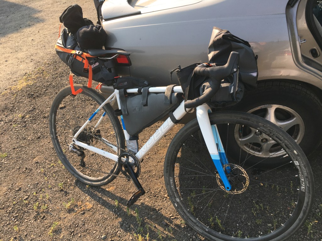
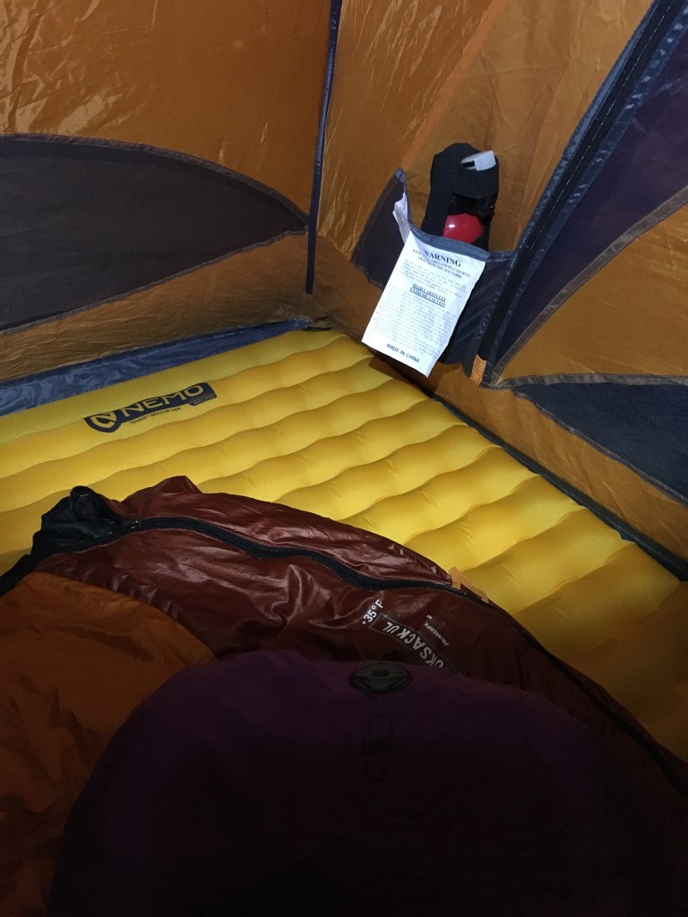
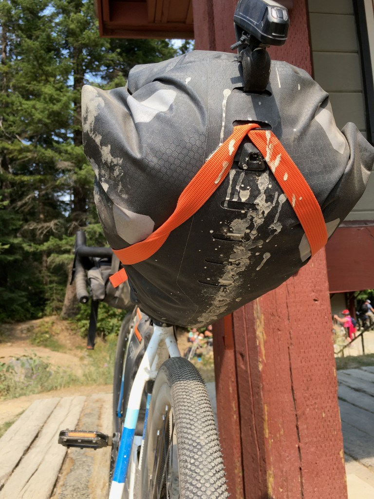
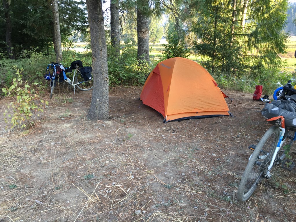
I didn’t get any photos of our campsite because we setup so late. By the time we filtered water, cooked dinner, set up the tent, hung our food in a bear bag away from us…we were pooped! This is not something I am really used to, but we did have bear spray with us, just in case (pictured below in the tent).
Day 2
We’d planned our second day of biking to be about 65 miles. A bit longer than we wanted, but it would be mostly downhill. After we packed up that morning, we set off. I thought it would be cold cruising downhill, but the day was already shaping up to be a warm one. Pretty soon, we came across our first tunnel for the day.

A few miles later, I heard a loud “THUNK” behind me. I looked back to see Mitch’s rear pack trailing on the ground behind him.
Turns out his pannier rack had completely snapped (even though it was metal). I wish I had taken a picture before we fixed it, but this was the only picture I got.
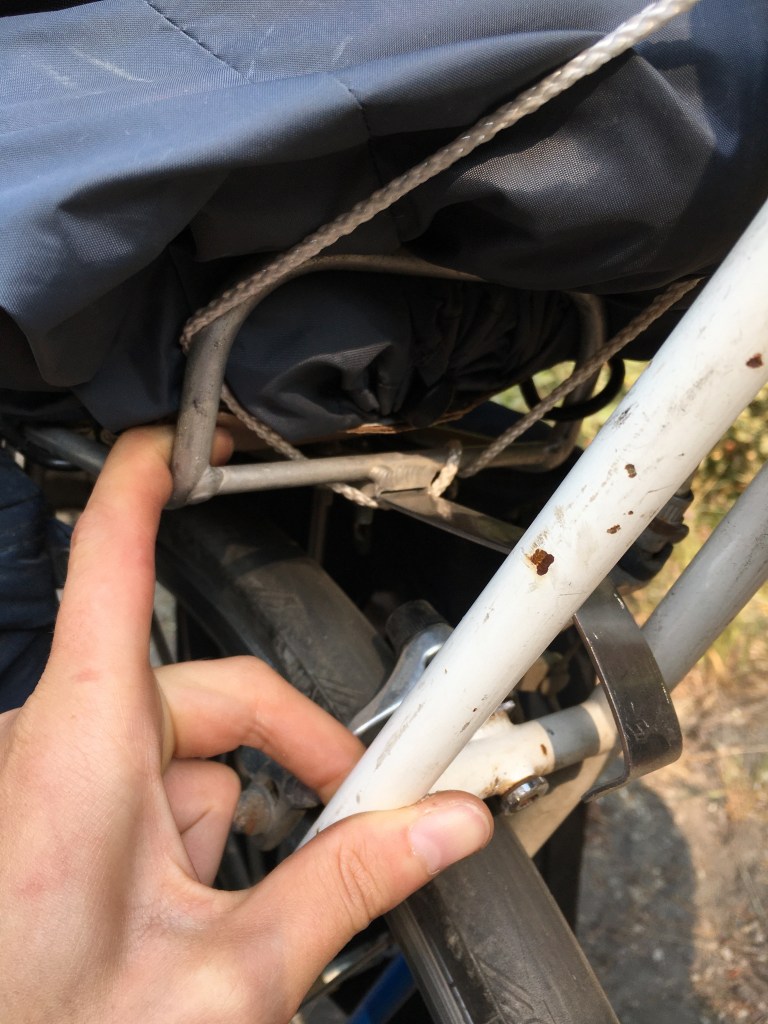
Fortunately, we were able to jerry rig it with spare rope & bungee cords, and it actually held the rest of the trip! If there’s one thing I’d advise you to definitely pack, it’d be a spare bungee cord, rope, and some kind of strong tape. They will save you from a multitude of headaches!
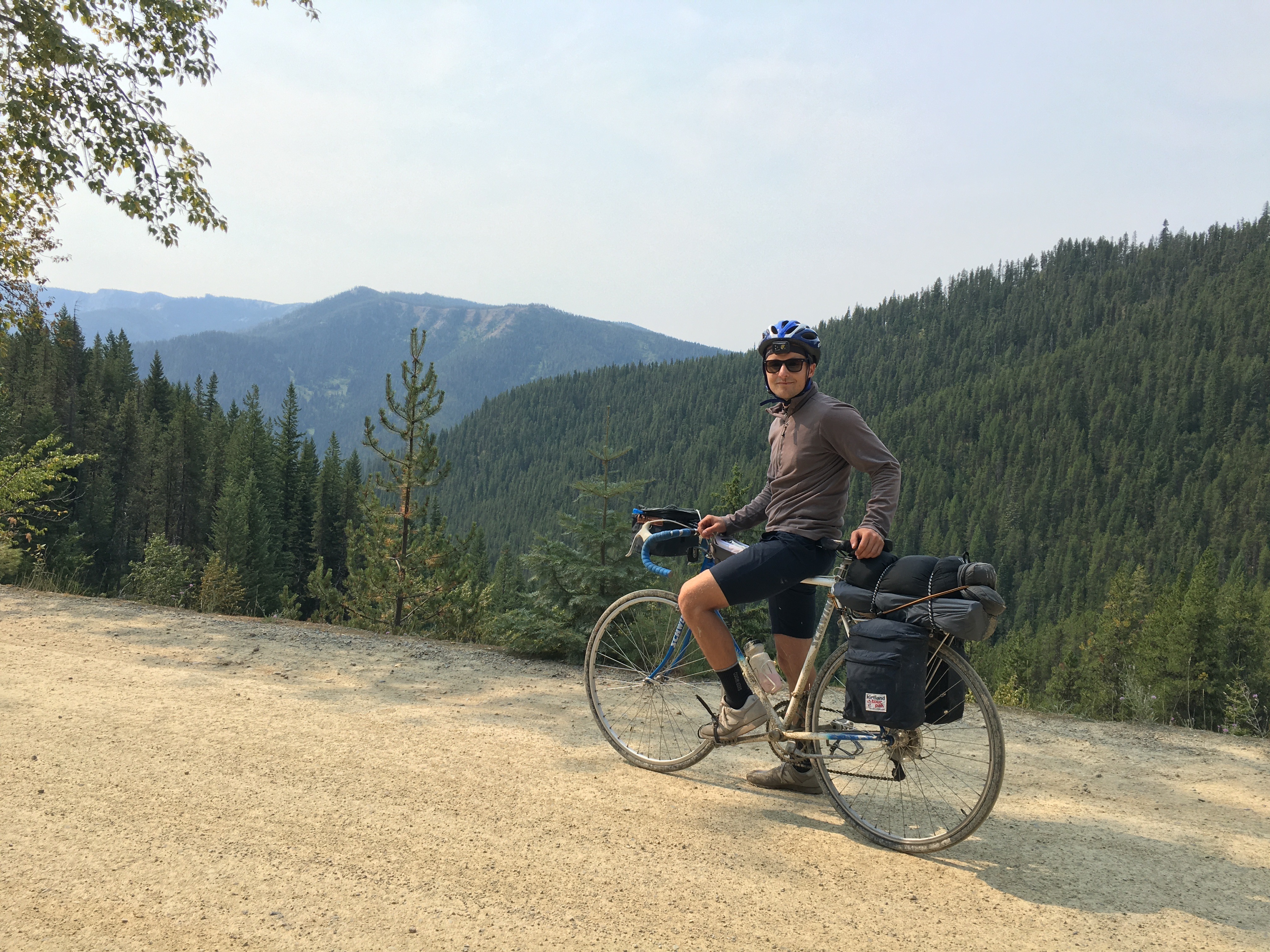
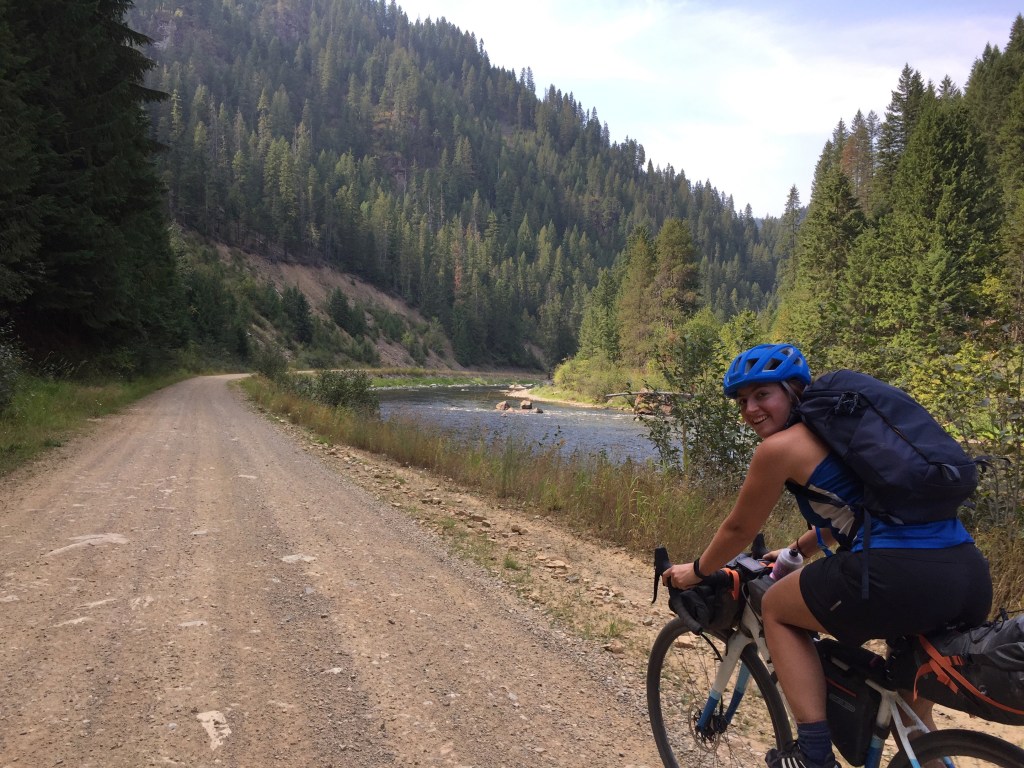
After a lovely 7ish miles of downhill, we reached the end of the NorPac trail and veered onto a road up to the Route of the Haiwatha. Even though I’ve been biking all summer and thought I was conditioned for climbs, I was eating Mitch’s dust as he blasted up the hill. My bike was having a bit of trouble shifting into lower gears because it was so dusty — should’ve lubed my chain before we left! Oh well.
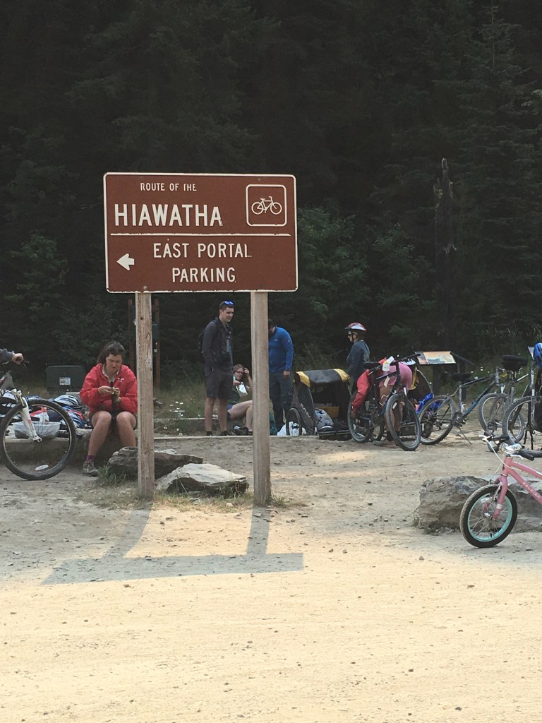
The Route of Haiwatha is very touristy and you have to buy a ticket to be able to ride it. I guess it goes into trail maintenance, so I couldn’t grumble too much, but it does rub me a bit wrong to make cyclists pay to bike. 🤷🏻♀️
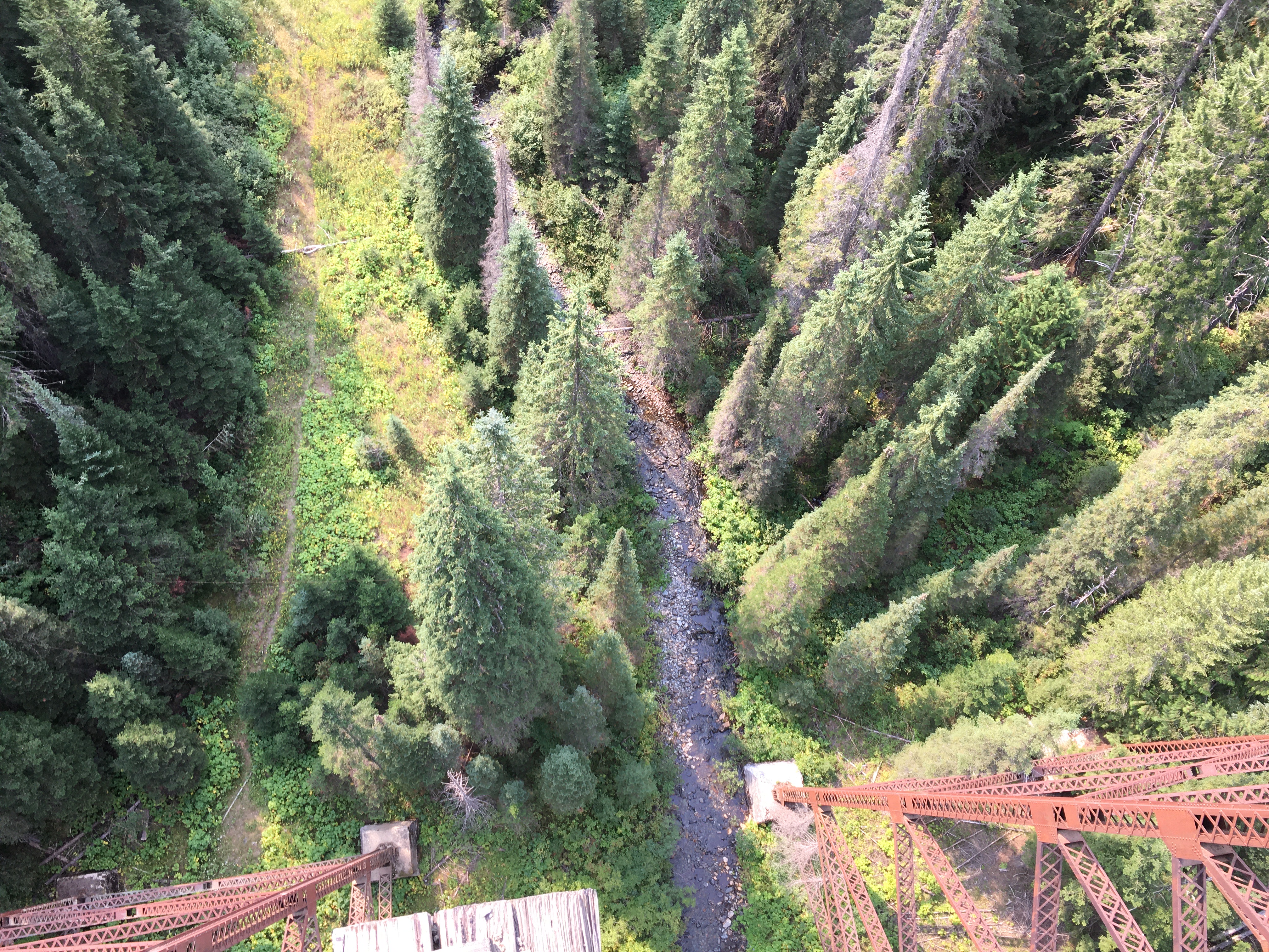
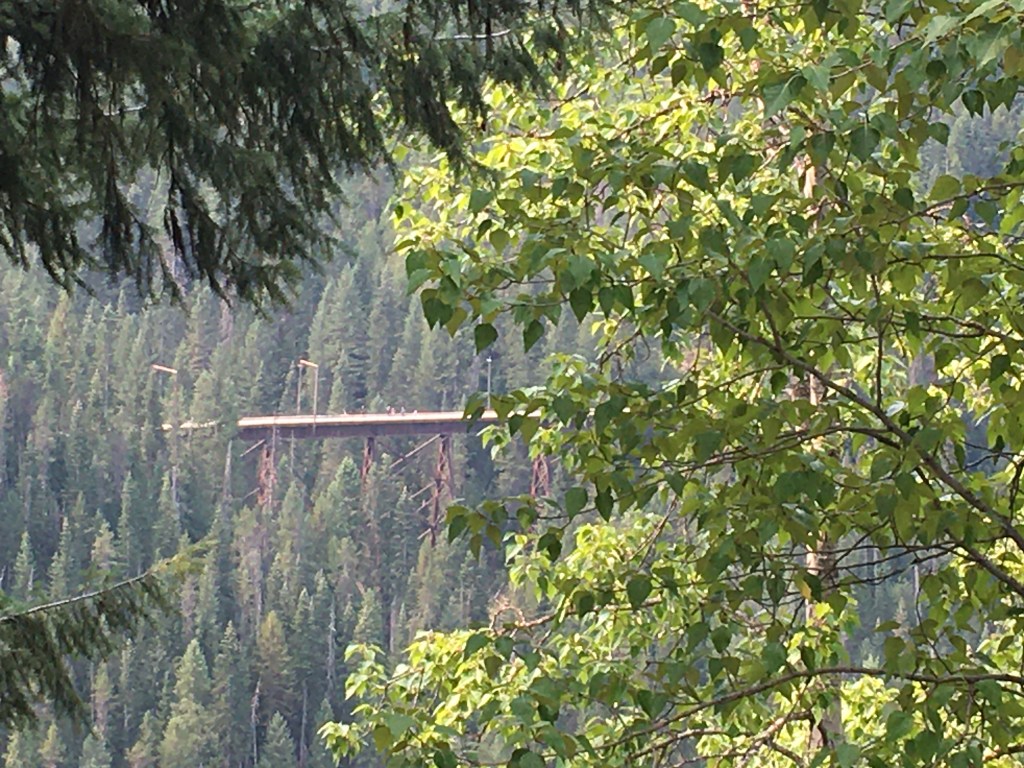
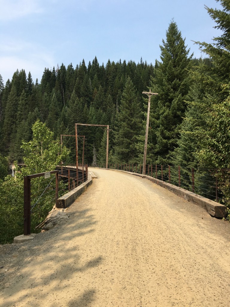
We went over some gorgeous trellises and through a dozen or so tunnels that day.
While the views were beautiful, there were a lot of people, and it wasn’t really my favorite part of the trip.

After about 15 miles of downhill, we got to the end of the Route of Haiwatha. Most people take a shuttle bus back to the top (see the refashioned school bus below), but we were continuing on a gravel forest road to Avery.

We thought this would be easy-peasy but we underestimated the gravel.
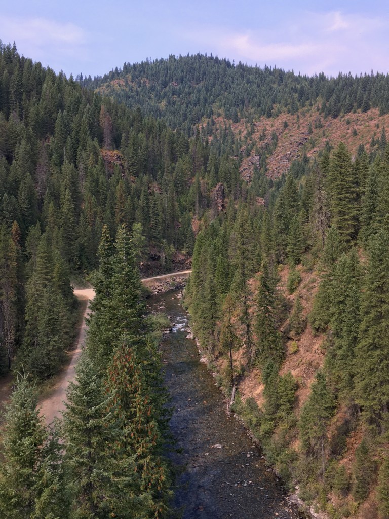
This turned out to be the hardest part of our trip, even though we were going downhill. The gravel was chunky and sometimes soft and slidy, so it didn’t make for easy riding. Going 11 miles down from the Route of the Haiwatha to Avery, ID took us about 2.5 hours (!). My friend, Mitch, did this all on a road bike with road tires–no flats (impressive). Even on my gravel bike, my arms and thighs were hurting by the end. Let’s just say: this is a bumpy ride and if you don’t have wide tires or shock absorbers, plan extra time for this portion.
That said, Mitch and I were both stunned by how gorgeous this stretch was. I think it was my favorite part. Besides the occasional ATV and car, we were completely alone.
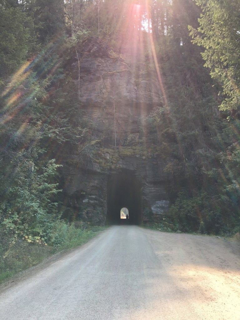
We went through several more tunnels, all of which were only wide enough for 1 car, and for most of them, you couldn’t see the other end from the start. Most cars would stop at the entrance and honk before going through, to alert anyone else on the other side. Even though there weren’t very many cars to worry about and we had lights on our bikes, I was holding my breath a bit going through the dark tunnels.

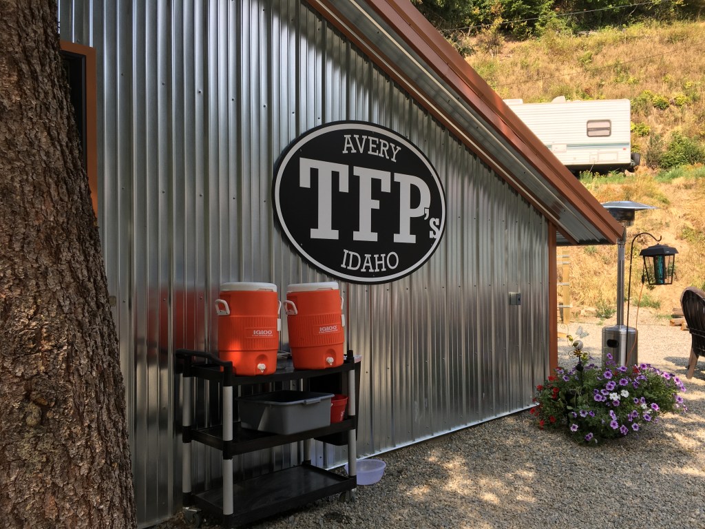
When we made it to Avery, we were overjoyed to be back on pavement & stopped at the local (and only) pub for a well-deserved drink.
At this point, there is an option to ride on the St. Joe River Road all the way into St. Maries (another 45 miles). However, there’s no shoulder on this road, so I was hesitant about this option. My bike handled better than Mitch’s on the gravel, so I wasn’t as exhausted as he was. We decided to continue on the gravel road and if need be, cross a bridge somewhere to take the St. Joe River Road.
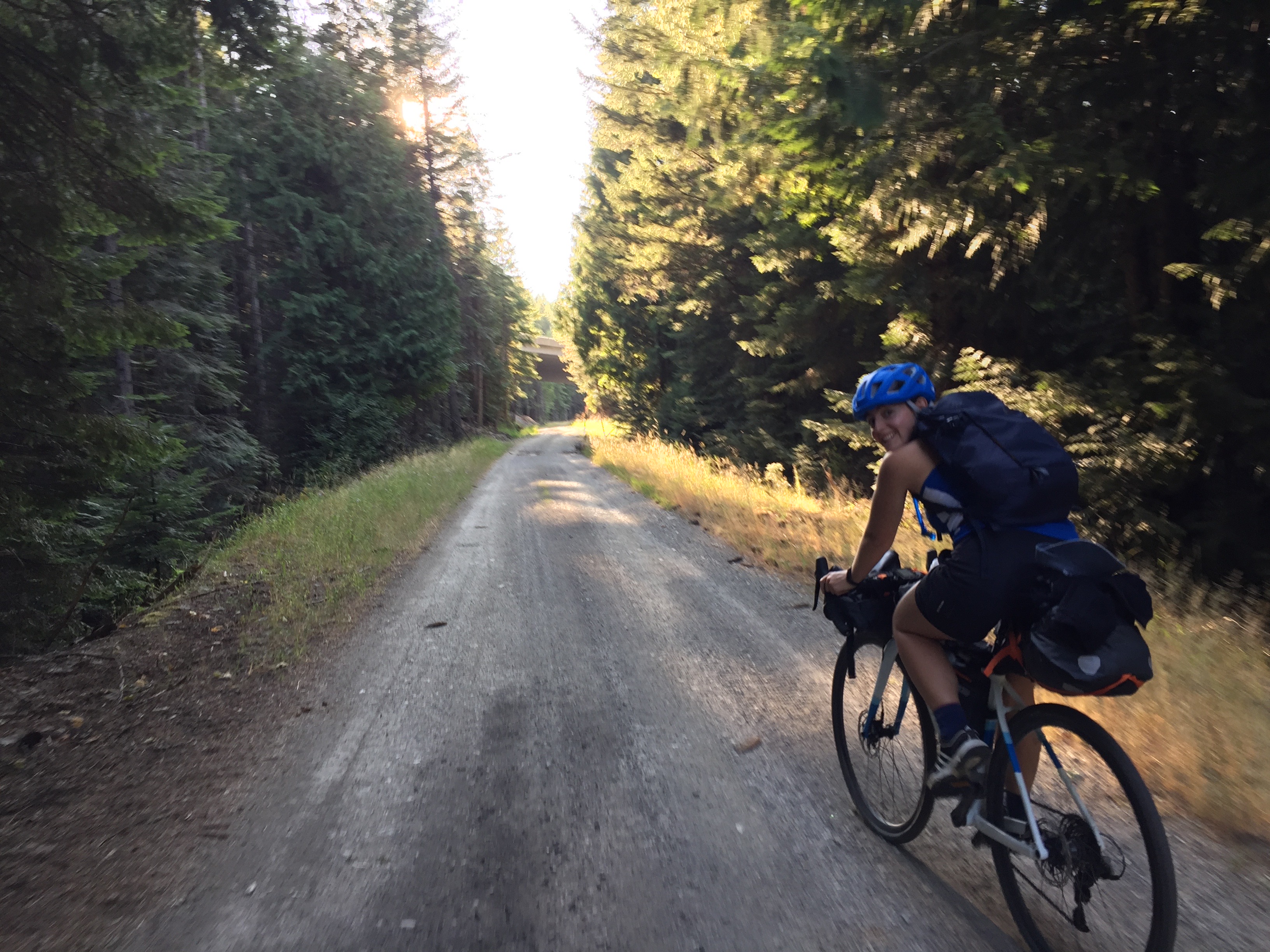
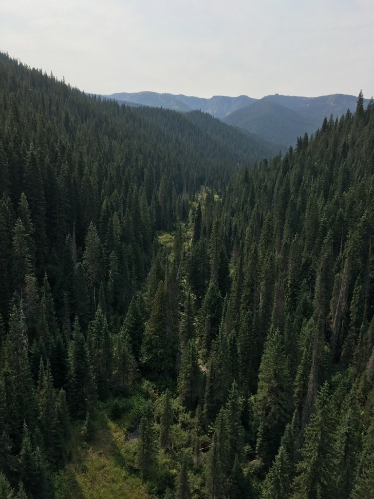
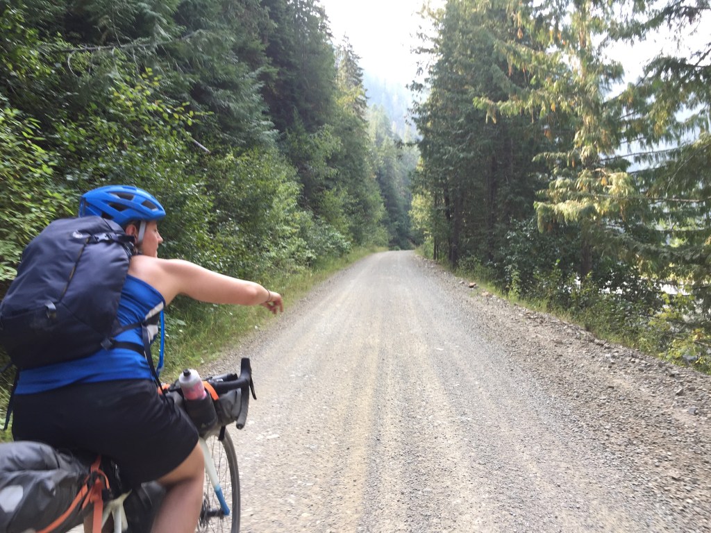
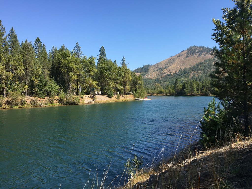
At first, the Old Milwaukee trail wasn’t too bad leaving Avery. The gravel was packed and easy riding. About two miles down the road, though, it started to get more course and chunky. Pretty soon we were quiet, fully concentrating on choosing the best path with each pedal, trying to avoid spinning out or hitting big rocks. I thought this stretch would be mostly flat, since we were following the St. Joe river all the way to St. Maries, but there was a fair amount of small up and down climbing. That said, it was probably one of the most beautiful parts of the ride.

By around 4:30 PM, we had only gone like 35 miles for the entire day–and we were supposed to bike around 65. The gravel was slowing us down a lot. We knew time was running out to crank out miles before it got dark and we had to find a place to camp/sleep/refill water. Plus, we needed to make it far enough so that we could be in St. Maries by 11AM Sunday morning for our shuttle ride. It just so happened that at that point the Old Milwaukee trail intersected with the St. Joe River Road, so we decided to bike on the paved road and see how far we would get.
Personally, I was a little disappointed to leave the quiet, scenic gravel road. We’d been following the river all afternoon, and if I did this route again (which I plan to) I would have split this day into 2 parts so we could’ve camped along the river and gone swimming. It was insanely gorgeous and clear! The only thing to dislike about the Old Milwaukee road is that it is a multi-use trail and ATVs are allowed. I guess ATVs are a big part of Idaho culture on weekends because we got passed a lot. They were all courteous and there was plenty of room, but ATVs are loud and then as bikers, we were left inhaling all the dust as they past. A bit annoying, but for me, better than dealing with asshole road drivers.
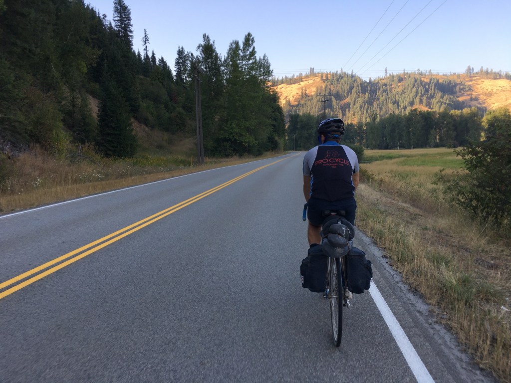
Riding on the road wasn’t as bad as I thought. Drivers were very courteous and honestly, there was virtually no traffic on the road on Saturday afternoon on Labor Day weekend. We saw lots of RVs and people camping, so I’m not sure how busy the road was on Friday / Monday, but it was pretty empty on Saturday and Sunday. Mitch and I had a pretty solid pace, hitting 17-20mph, even drafting off each other. Still, there was a strong headwind as certain points and gradual hills. And one cow that had escaped its field and was about to jump onto the road!
Finally, we saw a sign for Calder, which was one of the towns I remembered from the map. I thought this meant we were getting close. We decided to stop in. Calder, however, is a pretty small “town.” There was 1 general store and a lot of RVs, trailer homes, and ATVs, and that’s about it! We still didn’t have a cell signal and I was having trouble using my Wahoo GPS, so we asked some people how far we were from St. Maries? Only 25 miles! At that point it was nearly 6 PM, . They told us about a restaurant just up the road called “The Cutthroat resort.” Sounds like a terrible name to me, but we decided to stop there for dinner, so we didn’t have to cook at our campsite. A little after 7PM, we started biking again, got back on the gravel road, and found a place to camp sometime after 8. We both slept like babies, except for an ATV that cruised past on the gravel road around 3 or 4 in the morning.

Day 3
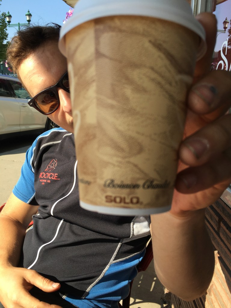
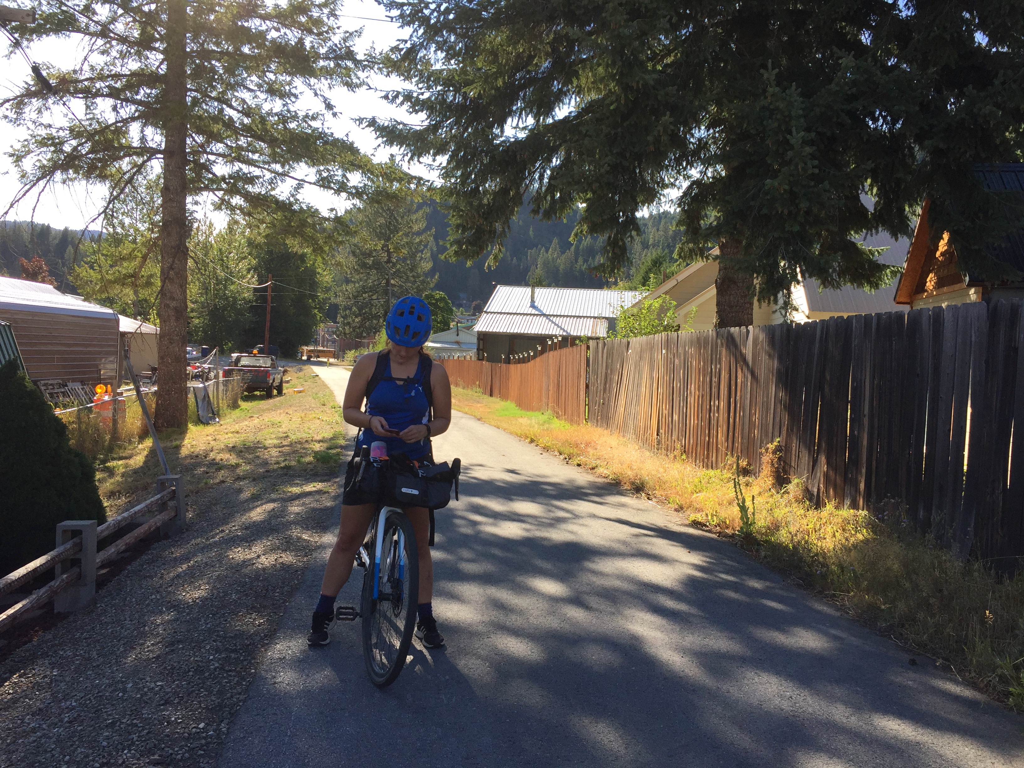
We woke up early Sunday morning, ate breakfast, and started biking by about 8:30AM. We made excellent time on the road (only one close call with an idiot driver) and were in St. Maries by about 9:45. We’d arranged to meet a person at 11AM in St. Maries, for a shuttle ride. Basically, once you reach St. Maries, the gravel trail ends and there’s no way to connect to the next part of the trail without biking on Highway 3 or Highway 5 — both of which are dangerous for bikers. The good news is, there’s several people who make a bit of side income by providing shuttle rides for cyclists. While we waited for our shuttle ride, we got coffee, refilled our water, and made some silly videos for our mutual friends.
Our shuttle driver was delightful & told us a lot about the region in our 20 min car ride from St. Maries to Harrison. The final stretch — Harrison back to Wallace was all on the paved Coeur d’Alene trail.
I’m not sure if I ate something bad that morning or if I was just dehydrated from Saturday, but I started feeling really sick to my stomach and gassy. I drank one of those electrolyte Nuun tablets and started feeling a lot better once that kicked in.

150 miles later and some ~5200 ft of elevation gain total, we made it back to Wallace by late afternoon! It was truly an amazing biking trip.
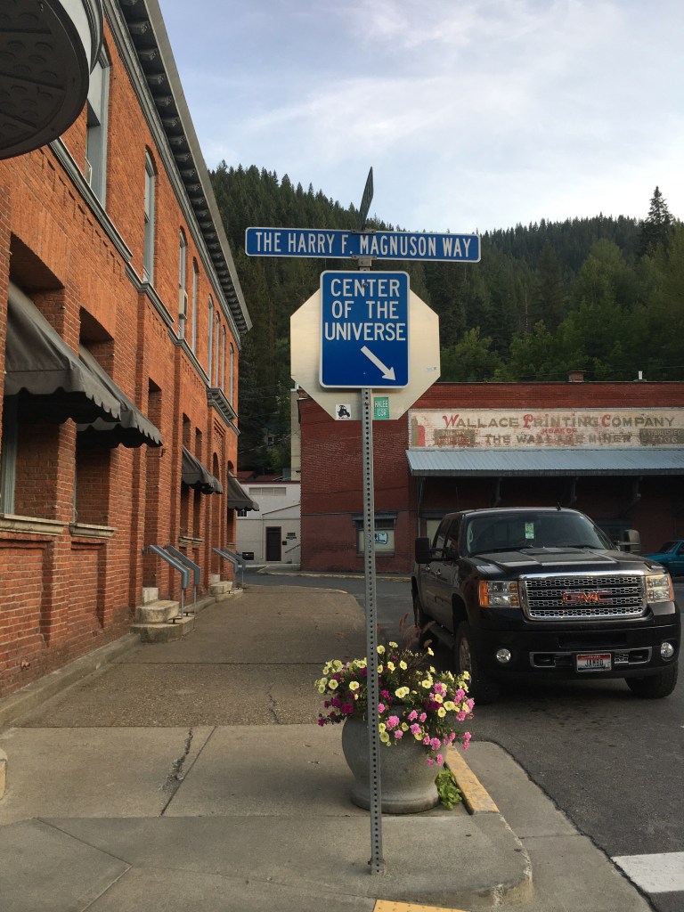
We had booked a hotel for the night & were both thrilled to shower and sleep in actual beds before our drives home on Monday. That evening we wandered around Wallace and tried to find a restaurant open (not a lot open on Sunday — reminded me of Austria!).
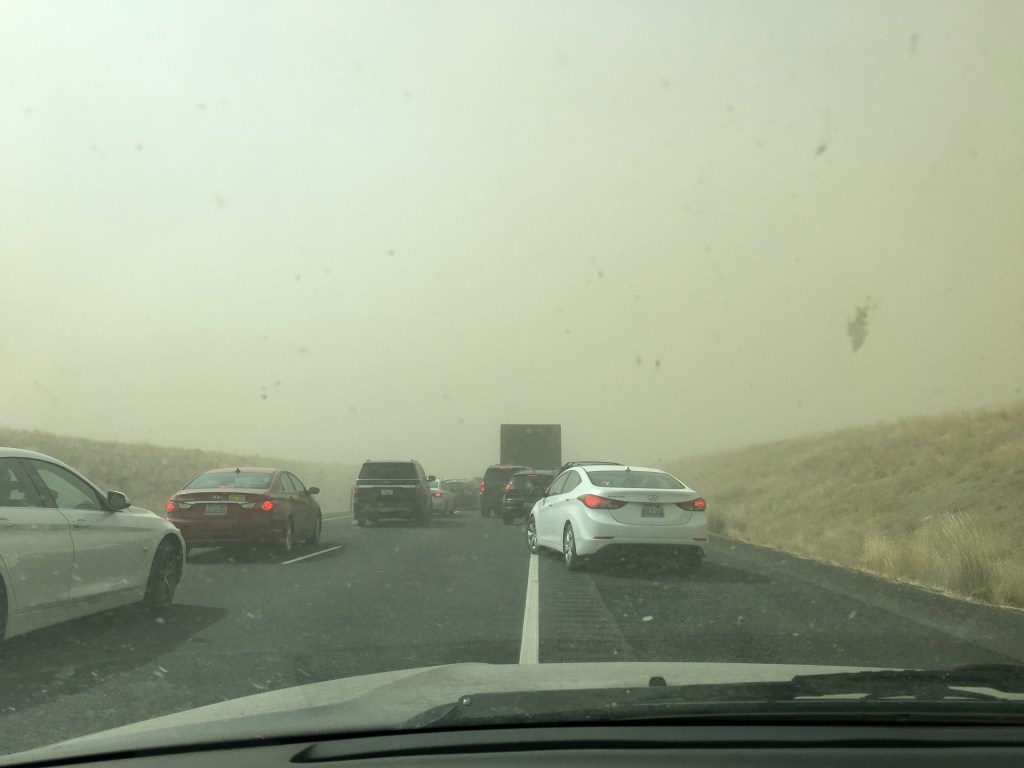
The most challenging part of this trip was actually my drive home! I got stuck in 4 hour standstill on the interstate due to a smoke & dust storm. When I got back to Seattle, we had terrible air quality for the next 2 weeks due to smoke from Oregon and California. I was so grateful we’d been able to get outside & do our bike trip while we could.
Can’t wait to do another trip sometime!

7 replies on “Bikepacking the “Bitterroot 300””
I always love reading about your travel / outdoor adventures!
❤
Love the photo essay, and who knew Idaho was so beautiful?! Proud of you for making the best of life in a pandemic. Thanks for sharing!
❤
Thinking about doing this with my toddler this summer! But we would probably only do 20-30 miles a day. Are there enough camping options in between, do you think? Any insight on wild camping or camp grounds along the way would be very helpful! Thank you!!!
It can be, as you noted, difficult following the old Milwaukee RR bed between the Hiawatha and Avery. The good news is that there are several options when you are dropping down towards Avery. These options show on Google maps. The main route lies on the old Milwaukee RR bed, and is as you rode it. The secondary routes are less developed, but lack the sometimes deep, frustrating gravel you encountered. I’ve followed both the old RR route, and the less developed alternatives, both on a touring bicycle with 38mm tires, and found the non-RR route more fun and overall less work.
[…] Photo Essay 3-Day Clockwise trip report […]